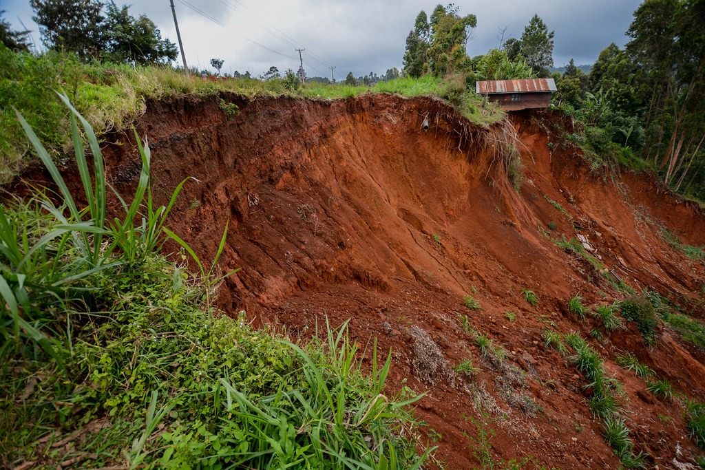
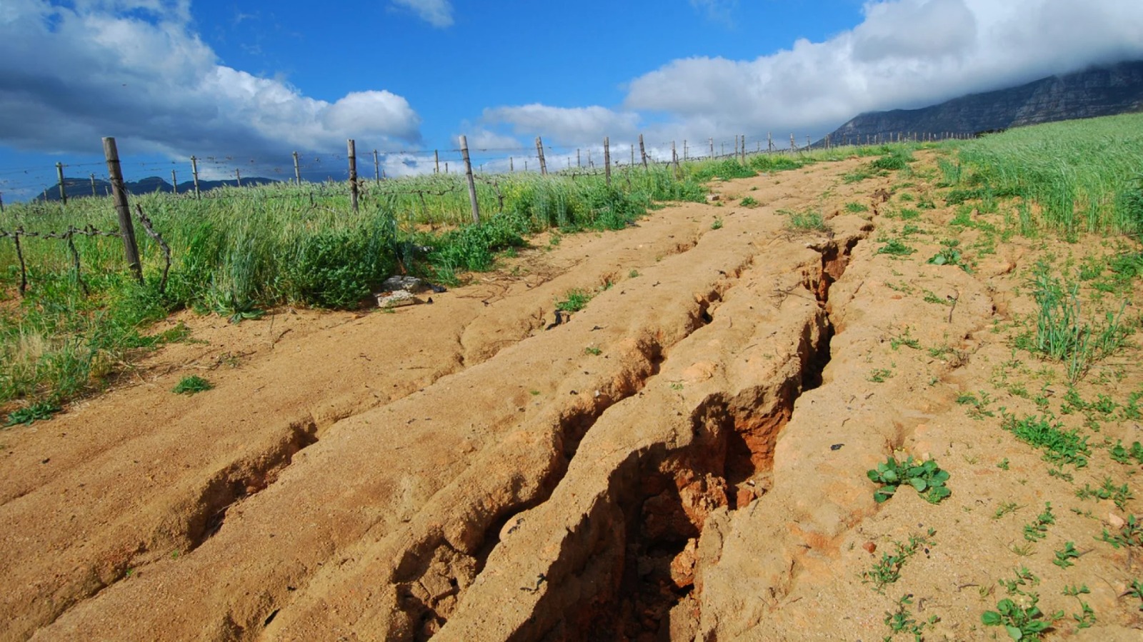
Imagine a small farming community nestled in a lush green landscape. For generations, this land has been the heart of their existence, providing abundant harvests and supporting their livelihoods. Then, over the course of just a few rainy seasons, the story changes. Torrential rains carve deep gullies through farmlands, roads crumble under the weight of erosion, and once-productive soil is swept away, leaving the community struggling to survive. This is not an isolated incident. Across the globe, soil erosion is a silent crisis—devastating ecosystems, threatening food security, and endangering livelihoods. Yet, amidst this challenge lies an opportunity to rewrite the narrative with the help of technology. Tools like Geographic Information Systems (GIS) and the Revised Universal Soil Loss Equation (RUSLE) model are proving to be game-changers in addressing soil erosion and paving the way for sustainable land management
The Power of GIS and RUSLE in Soil Loss Mapping
Soil erosion occurs when topsoil, the most fertile layer of the earth, is removed by water or wind, leaving behind barren land. In regions with intense rainfall patterns, deforestation, or improper land management, the risk of erosion is significantly heightened. However, by integrating GIS and the RUSLE model, researchers can identify areas most vulnerable to soil loss and design targeted interventions. GIS allows for the collection, integration, and analysis of spatial data, while RUSLE incorporates key factors such as rainfall erosivity, soil erodibility, slope steepness, land cover, and conservation practices. Together, they produce detailed soil loss maps, classifying regions into low, medium, and high erosion risk zones. These maps serve as critical tools for policymakers, environmental managers, and communities to address soil erosion effectively.
Why Soil Loss Mapping Matters

The implications of soil loss mapping extend far beyond academic interest. In regions prone to severe erosion, these maps reveal critical areas, such as roads, croplands, and river channels, that require urgent intervention. This data is vital for:
- Policymaking: guiding decisions on land use, conservation practices, and erosion control measures.
- Sustainable Agriculture: Protecting fertile land through practices like terracing, crop rotation, and afforestation.
- Infrastructure Planning: Preventing damage to roads, bridges, and other infrastructure by identifying erosion-prone areas.
- Community Empowerment: Equipping local populations with knowledge and tools to mitigate erosion risks.
A Call to Action
The story of soil erosion is not just about the land; it’s about the people who depend on it. Farmers who lose their fields to erosion, families forced to relocate after floods, and nations grappling with the economic cost of degraded land are all part of this unfolding crisis. But this story can have a hopeful ending.
By embracing technologies like GIS and RUSLE, we can transform the way we understand and combat soil erosion. These tools empower us to make data-driven decisions, prioritize sustainable practices, and protect the earth’s most precious resource—its soil. As we face the dual challenges of climate change and population growth, soil conservation must become a global priority. Together, through innovation and collaboration, we can ensure that the earth’s story remains one of resilience and sustainability.


Very creative write up